Permafrost map — the honest pre-launch version
There is no official world map for Permafrost yet — the developer has not published one, and any map you see on other sites right now is either a screenshot fragment or a mock-up. What is confirmed is the shape of the world: four distinct frozen regions, each with its own survival arithmetic. That is enough to plan around, and on 9 October it becomes the skeleton of a real map page.
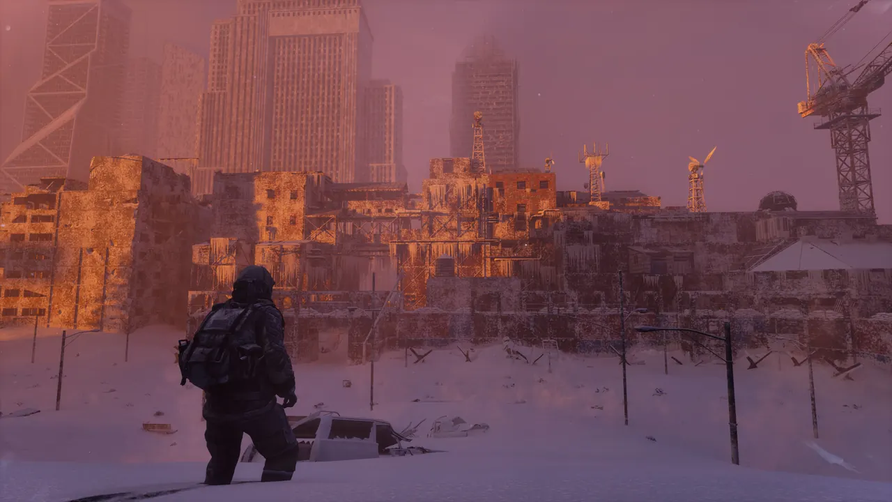
The four confirmed regions
Official material divides the world into four biomes. Each changes the map problem differently:
- Frozen Tundra — Open, wind-scoured flatland — the most exposure-heavy biome.
- Glacier — Vertical ice terrain — traversal and falls are the problem.
- Ice Forest — Dense cover — the safest place to shelter, the worst place to see danger coming.
- Frozen City — Buried ruins — the highest-value salvage and the highest risk.
What the region split tells you about travel
The cold is an active system, so in Permafrost distance is measured in warm checkpoints, not metres. The map question that matters at launch is not "how big is the world" but "where can I reset my exposure budget": shelter locations, cave and building cover, and fuel sources. Open terrain like the tundra punishes long legs; the ice forest and frozen city reward them with cover and salvage.
That is why our cold survival estimator thinks in exposure budget instead of travel time — it is the closest thing to a map tool that pre-launch data honestly supports.
What this page becomes after launch
On launch day this URL turns into a working map index: region-by-region shelter sites, fuel and resource clusters, dog-companion recruitment points and danger zones, each measured against the live Early Access build. Until then, everything we could confirm is already documented per region on the biome pages — and everything we could not is listed as unmeasured rather than invented.
Data version 2026.09.24 · reviewed 24 September 2026.